

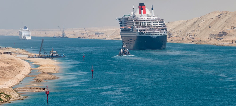
Suez canal
The Suez Canal ( In Arabic: Qanat as-Suways ), is an artificial sea-level waterway running north to south across the Isthmus of Suez in Egypt to connect the Mediterranean Sea and the Red Sea. The canal separates the African continent from Asia, and it provides the shortest maritime route between Europe and the lands lying around the Indian and western Pacific oceans.
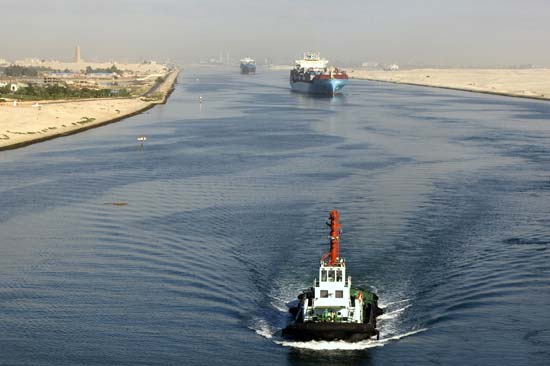
It is one of the world’s most heavily used shipping lanes.
The Suez Canal is one of the most important waterways in the world.
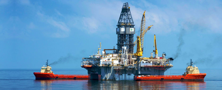
The canal is extensively used by modern ships , as it is the fastest crossing from the Atlantic Ocean to the Indian Ocean .
Tolls paid by the vessels represent an important source of income for the Egyptian government.
Railway and a sweet water canal are run on the west bank parallel to the Suez Canal .
The Canal runs between Port Said harbor and the Gulf of Suez , through soils which vary according to the region.
At Port Said and the surrounding area, the soil is composed over thousands of years of silt and clay sedimentations deposited by the Nile waters drifted by Damietta branch.
This formation extends to Kantara, 40 km to the south of Port Said , where silt mixes with sand. The central region of the Canal between Kantara and Kabret consists of fine and coarse sands, while the southern region contains dispersed layers of rocks, varying in texture from soft sand to some calcium rocks, The side gradient of the water cross section differs according to the nature of the soil, which is 4:1 in the north and 3:1 in the south.
The Suez Canal
is a sea level Canal and the height of water level differs slightly and the extreme tidal range is 65 cm in the north and 1.9 m in the south.
The banks of the Canal are protected against the wash and waves, generated by the transit of ships, by revetments of hard stones and steel sheet piles corresponding to the nature of soil in every area. On both sides of the Canal.
there are mooring bollards every 125 m for the mooring of vessel in case of emergency, and kilometric sign posts helping locate the position of ships in the waterway.
The navigable channel
is bordered by light and reflecting buoys as navigational aids to night traffic.
Most of the canal is limited to a single lane of traffic, but the canal has 4 doubled zone with 6 bypasses ( total length 80.5 Km ) are located along the Canal, and this allows the transit of ships in both directions. :
1. Port Said by-pass 40.1 km accomplished in 1980 (Increased several times)
2. Ballah by-pass 8.9 km accomplished in 1955
3. Timsah by-pass 4.3 km accomplished in 1980
4. Deversoir by-pass 8.4 km accomplished in 1980
5. The Bitter Lakes by-pass 11.8 km accomplished in 1955
6. Kabret by-pass 7.0 km accomplished in 1955.
Contact us
[youtube_channel]
[gmap-embed id=”867″]
